End of the road at Pharisee Green
Introduction
The photograph on this page of End of the road at Pharisee Green by Trevor Harris as part of the Geograph project.
The Geograph project started in 2005 with the aim of publishing, organising and preserving representative images for every square kilometre of Great Britain, Ireland and the Isle of Man.

There are currently over 7.5m images from over 14,400 individuals and you can help contribute to the project by visiting https://www.geograph.org.uk
End of the road at Pharisee Green
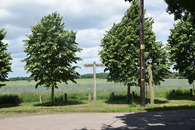
Image: © Trevor Harris Taken: 11 Jun 2022
As the signpost tells us farm roads head off left to Tanners and right to Minchins.
Images are licensed for reuse under creativecommons.org/licenses/by-sa/2.0
Image Location
Latitude
51.859273
Longitude
0.339035