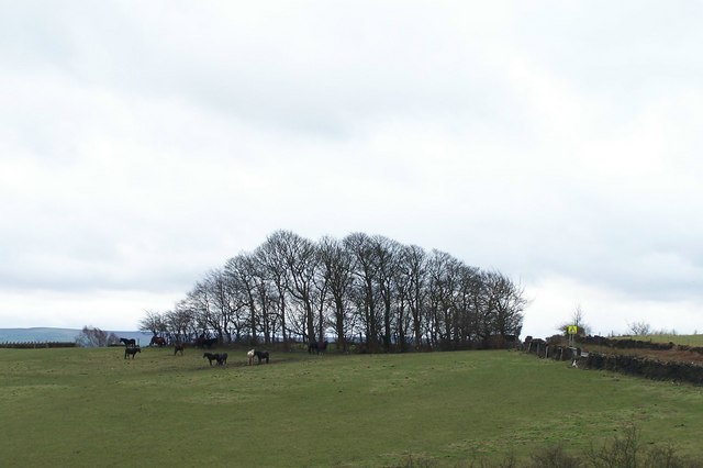
View to top of Jawbone Hill from Skew Hill Lane
Introduction
The photograph on this page of View to top of Jawbone Hill from Skew Hill Lane by Terry Robinson as part of the Geograph project.
The Geograph project started in 2005 with the aim of publishing, organising and preserving representative images for every square kilometre of Great Britain, Ireland and the Isle of Man.
There are currently over 7.5m images from over 14,400 individuals and you can help contribute to the project by visiting https://www.geograph.org.uk

Image: © Terry Robinson Taken: 8 Mar 2008
The sharp bend at the top of Jawbone Hill is to the right of the copse of trees; just visible is the warning sign on the roadside. Note Jawbone Hill is also known as Whalejaw Hill, indeed the OS maps describe it as such. However it has always been known as Jawbone Hill by people living on the Oughtibridge side ... Image

