The northern end of Martindale Road
Introduction
The photograph on this page of The northern end of Martindale Road by Bill Boaden as part of the Geograph project.
The Geograph project started in 2005 with the aim of publishing, organising and preserving representative images for every square kilometre of Great Britain, Ireland and the Isle of Man.

There are currently over 7.5m images from over 14,400 individuals and you can help contribute to the project by visiting https://www.geograph.org.uk
The northern end of Martindale Road
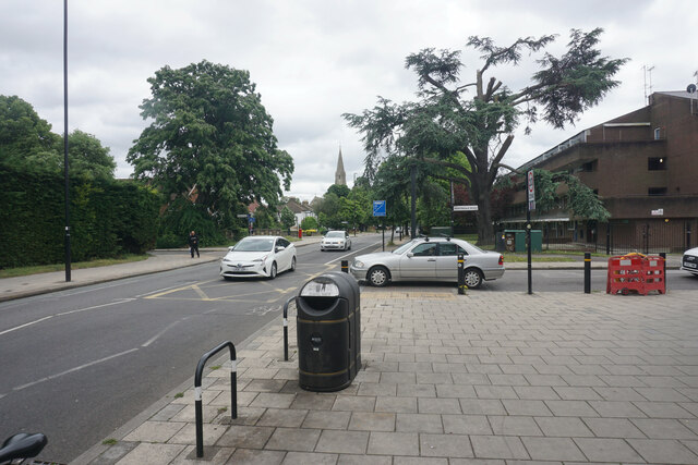
Image: © Bill Boaden Taken: 26 May 2022
Here it meets Bath Road, the A3006. The spire of St Paul's Church is seen further down Bath Road.
Images are licensed for reuse under creativecommons.org/licenses/by-sa/2.0
Image Location
Latitude
51.472094
Longitude
-0.384087