Farmland, St Breock
Introduction
The photograph on this page of Farmland, St Breock by Andrew Smith as part of the Geograph project.
The Geograph project started in 2005 with the aim of publishing, organising and preserving representative images for every square kilometre of Great Britain, Ireland and the Isle of Man.

There are currently over 7.5m images from over 14,400 individuals and you can help contribute to the project by visiting https://www.geograph.org.uk
Farmland, St Breock
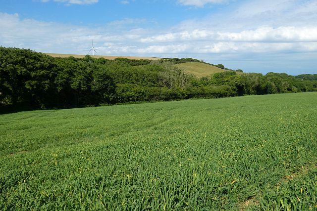
Image: © Andrew Smith Taken: 3 Jun 2022
A footpath follows the edge of this field on its way to Pawton Manor.
Images are licensed for reuse under creativecommons.org/licenses/by-sa/2.0
Image Location


Leaflet Map data © OpenStreetMap
Latitude
50.4958
Longitude
-4.889108