Kepwick, Rag Robin Turn
Introduction
The photograph on this page of Kepwick, Rag Robin Turn by Mel Towler as part of the Geograph project.
The Geograph project started in 2005 with the aim of publishing, organising and preserving representative images for every square kilometre of Great Britain, Ireland and the Isle of Man.

There are currently over 7.5m images from over 14,400 individuals and you can help contribute to the project by visiting https://www.geograph.org.uk
Kepwick, Rag Robin Turn
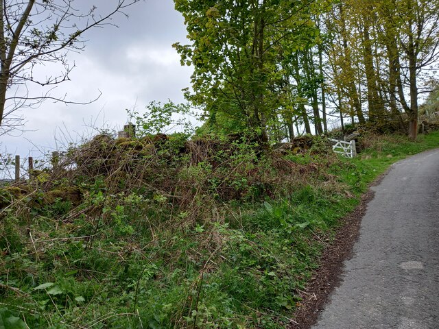
Image: © Mel Towler Taken: 2 May 2022
There is a benchmark cut into the roadside wall on the west side of the lane. Follow diagonally left from the top of the wooden post and the cleared stone in the wall can be seen.
Images are licensed for reuse under creativecommons.org/licenses/by-sa/2.0
Image Location


Leaflet Map data © OpenStreetMap
Latitude
54.313712
Longitude
-1.266764