The Wolverhampton 21 - Lock No 15
Introduction
The photograph on this page of The Wolverhampton 21 - Lock No 15 by Roger Kidd as part of the Geograph project.
The Geograph project started in 2005 with the aim of publishing, organising and preserving representative images for every square kilometre of Great Britain, Ireland and the Isle of Man.

There are currently over 7.5m images from over 14,400 individuals and you can help contribute to the project by visiting https://www.geograph.org.uk
The Wolverhampton 21 - Lock No 15
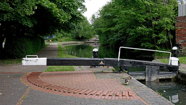
Image: © Roger Kidd Taken: 28 May 2022
Looking east-south-east towards Wolverhampton city centre. Wolverhampton Science Park is off to the left. Sustrans National Route 81 (Aberystwyth to Wolverhampton) for cyclists passes along the towpath here.
Images are licensed for reuse under creativecommons.org/licenses/by-sa/2.0
Image Location
Latitude
52.602216
Longitude
-2.129594