Field at Badgall
Introduction
The photograph on this page of Field at Badgall by Derek Harper as part of the Geograph project.
The Geograph project started in 2005 with the aim of publishing, organising and preserving representative images for every square kilometre of Great Britain, Ireland and the Isle of Man.

There are currently over 7.5m images from over 14,400 individuals and you can help contribute to the project by visiting https://www.geograph.org.uk
Field at Badgall
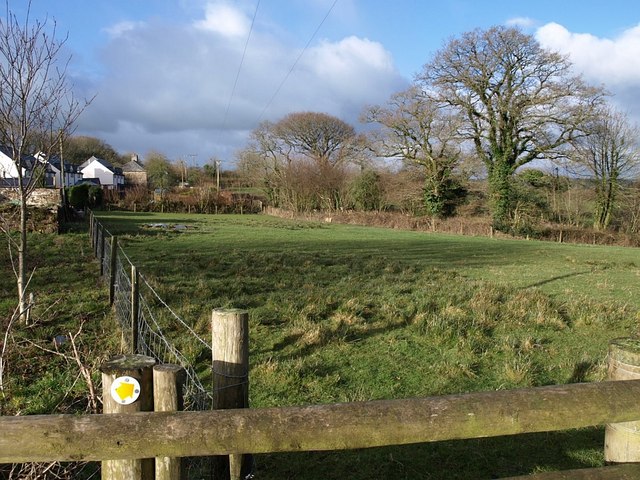
Image: © Derek Harper Taken: 4 Mar 2008
The field shown in Image is large and of a highly irregular shape, running from the stile where the two photos were taken right down to the River Kensey. This view shows a southern arm which backs on to cottages in the hamlet. On the right, and contributing to the variable outline, is a small, almost circular, field surrounded by mature trees, almost like an old pound.
Images are licensed for reuse under creativecommons.org/licenses/by-sa/2.0
Image Location
Latitude
50.651982
Longitude
-4.499137