St. James Lane
Introduction
The photograph on this page of St. James Lane by Keith Evans as part of the Geograph project.
The Geograph project started in 2005 with the aim of publishing, organising and preserving representative images for every square kilometre of Great Britain, Ireland and the Isle of Man.

There are currently over 7.5m images from over 14,400 individuals and you can help contribute to the project by visiting https://www.geograph.org.uk
St. James Lane
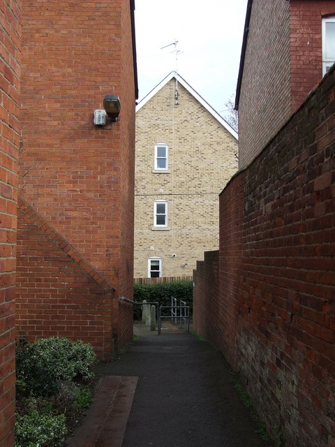
Image: © Keith Evans Taken: 9 Mar 2008
Looking east along St.James Lane that runs between Chalk road north and Victoria road Bury St.Edmunds Suffolk.
Images are licensed for reuse under creativecommons.org/licenses/by-sa/2.0
Image Location


Leaflet Map data © OpenStreetMap
Latitude
52.245954
Longitude
0.704772