The Wye valley at Bigsweir
Introduction
The photograph on this page of The Wye valley at Bigsweir by Philip Halling as part of the Geograph project.
The Geograph project started in 2005 with the aim of publishing, organising and preserving representative images for every square kilometre of Great Britain, Ireland and the Isle of Man.

There are currently over 7.5m images from over 14,400 individuals and you can help contribute to the project by visiting https://www.geograph.org.uk
The Wye valley at Bigsweir
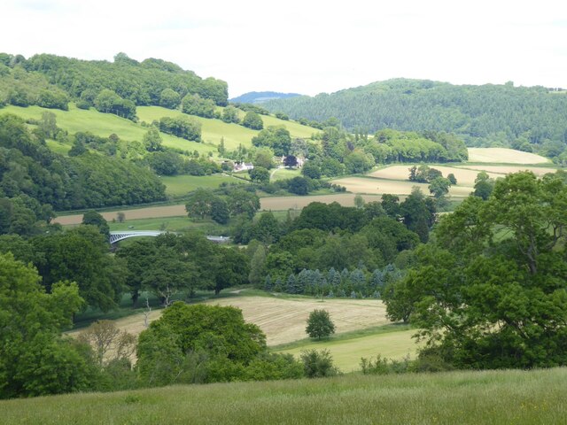
Image: © Philip Halling Taken: 2 Jun 2022
View from Offa's Dyke Path where it descends from Hudnalls. The Bigsweir Bridge can be seen crossing the River Wye in the valley.
Images are licensed for reuse under creativecommons.org/licenses/by-sa/2.0
Image Location
Latitude
51.737489
Longitude
-2.66741