Chapel flats
Introduction
The photograph on this page of Chapel flats by Richard Dorrell as part of the Geograph project.
The Geograph project started in 2005 with the aim of publishing, organising and preserving representative images for every square kilometre of Great Britain, Ireland and the Isle of Man.

There are currently over 7.5m images from over 14,400 individuals and you can help contribute to the project by visiting https://www.geograph.org.uk
Chapel flats
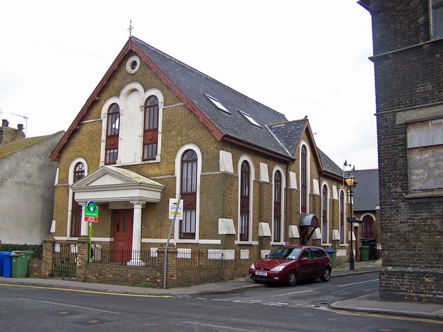
Image: © Richard Dorrell Taken: 9 Mar 2008
This former chapel on the corner of North Road and Well Road has been converted into flats, at least two of which are available to let at the time this photograph was taken.
Images are licensed for reuse under creativecommons.org/licenses/by-sa/2.0
Image Location
Latitude
51.41685
Longitude
0.747725