Driveway and bridle path near Abinger Hammer
Introduction
The photograph on this page of Driveway and bridle path near Abinger Hammer by Malc McDonald as part of the Geograph project.
The Geograph project started in 2005 with the aim of publishing, organising and preserving representative images for every square kilometre of Great Britain, Ireland and the Isle of Man.

There are currently over 7.5m images from over 14,400 individuals and you can help contribute to the project by visiting https://www.geograph.org.uk
Driveway and bridle path near Abinger Hammer
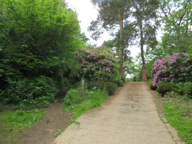
Image: © Malc McDonald Taken: 3 Jun 2022
A private driveway leading to a house near the village of Abinger Hammer in Surrey. This image was taken in early June, as the rhododendrons were in bloom. To the left of the driveway is a public bridleway. This path forms part of route 22 of the National Cycle Network.
Images are licensed for reuse under creativecommons.org/licenses/by-sa/2.0
Image Location
Latitude
51.215915
Longitude
-0.438319