The Flying Dutchman public house
Introduction
The photograph on this page of The Flying Dutchman public house by Richard Dorrell as part of the Geograph project.
The Geograph project started in 2005 with the aim of publishing, organising and preserving representative images for every square kilometre of Great Britain, Ireland and the Isle of Man.

There are currently over 7.5m images from over 14,400 individuals and you can help contribute to the project by visiting https://www.geograph.org.uk
The Flying Dutchman public house
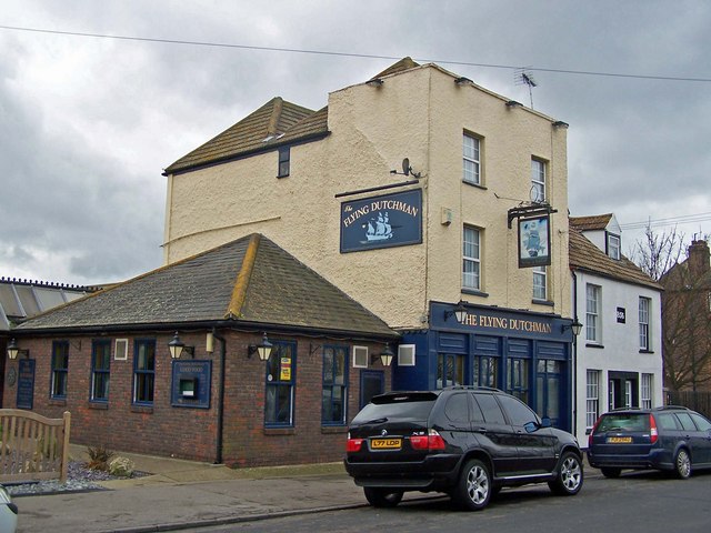
Image: © Richard Dorrell Taken: 9 Mar 2008
Located in the High Street. The white house next door is dated 1856.
Images are licensed for reuse under creativecommons.org/licenses/by-sa/2.0
Image Location
Latitude
51.416722
Longitude
0.741676