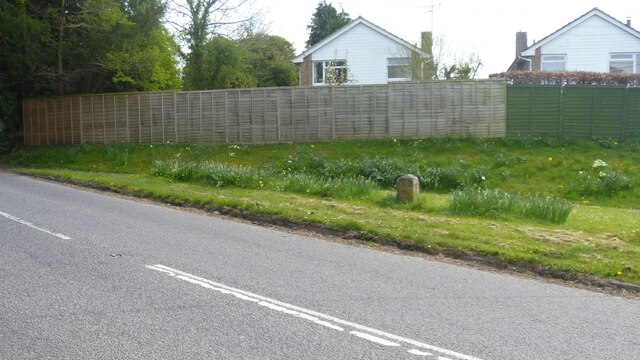
Barford St Martin features [1]
Introduction
The photograph on this page of Barford St Martin features [1] by Michael Dibb as part of the Geograph project.
The Geograph project started in 2005 with the aim of publishing, organising and preserving representative images for every square kilometre of Great Britain, Ireland and the Isle of Man.
There are currently over 7.5m images from over 14,400 individuals and you can help contribute to the project by visiting https://www.geograph.org.uk

Image: © Michael Dibb Taken: 20 Apr 2022
This milestone on Wilton Road was erected in the later 18th century when the road from Salisbury to East Knoyle road was turnpiked in 1760-62. A limestone pillar with a pitched top. The lettering reads: SARUM / VI / HINDON / X. There is a closer view of the milestone at Image Listed, grade II, with details at: https://historicengland.org.uk/listing/the-list/list-entry/1146192 Barford St Martin is a village in Wiltshire, some 2½ miles west of Wilton. The village is set on the north bank of the River Nadder at the junction of the B3089 road with the A30 road. There is evidence of occupation from the Iron Age onwards. Most working residents commute to Wilton or to Salisbury.

