Closed path
Introduction
The photograph on this page of Closed path by Richard Webb as part of the Geograph project.
The Geograph project started in 2005 with the aim of publishing, organising and preserving representative images for every square kilometre of Great Britain, Ireland and the Isle of Man.

There are currently over 7.5m images from over 14,400 individuals and you can help contribute to the project by visiting https://www.geograph.org.uk
Closed path
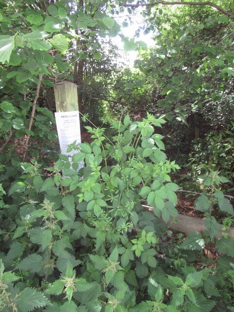
Image: © Richard Webb Taken: 24 May 2022
You have a highly restrictive linear access system.. and then you close bits of it. Nothing says Herefordshire like a closed path. You will always meet one. It now looks from the latest OS maps that this is a permanent arrangement with a diversion now on the definitive map.
Images are licensed for reuse under creativecommons.org/licenses/by-sa/2.0
Image Location
Latitude
51.976506
Longitude
-2.496691