West end of St Ann's Church
Introduction
The photograph on this page of West end of St Ann's Church by Roger Templeman as part of the Geograph project.
The Geograph project started in 2005 with the aim of publishing, organising and preserving representative images for every square kilometre of Great Britain, Ireland and the Isle of Man.

There are currently over 7.5m images from over 14,400 individuals and you can help contribute to the project by visiting https://www.geograph.org.uk
West end of St Ann's Church
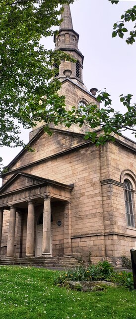
Image: © Roger Templeman Taken: 5 May 2022
There is an Ordnance Survey benchmark Image on the near corner, right hand face, of the church. The spire is an Ordnance Survey intersected station trig point, http://trigpointing.uk/trig/10989
Images are licensed for reuse under creativecommons.org/licenses/by-sa/2.0
Image Location


Leaflet Map data © OpenStreetMap
Latitude
54.972371
Longitude
-1.594747