Plymouth Parkway
Introduction
The photograph on this page of Plymouth Parkway by Tony Atkin as part of the Geograph project.
The Geograph project started in 2005 with the aim of publishing, organising and preserving representative images for every square kilometre of Great Britain, Ireland and the Isle of Man.

There are currently over 7.5m images from over 14,400 individuals and you can help contribute to the project by visiting https://www.geograph.org.uk
Plymouth Parkway
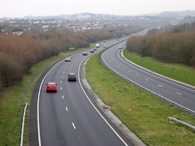
Image: © Tony Atkin Taken: 7 Jan 2006
This road carries the main A38 route through the heart of Plymouth. It was built in the late 1980's although the route had been reserved since 1943 when it was first proposed in Abercrombie and Watson's Plan for Plymouth.
Images are licensed for reuse under creativecommons.org/licenses/by-sa/2.0
Image Location
Latitude
50.410502
Longitude
-4.17576