Downs Link at Rudgwick station site
Introduction
The photograph on this page of Downs Link at Rudgwick station site by Malc McDonald as part of the Geograph project.
The Geograph project started in 2005 with the aim of publishing, organising and preserving representative images for every square kilometre of Great Britain, Ireland and the Isle of Man.

There are currently over 7.5m images from over 14,400 individuals and you can help contribute to the project by visiting https://www.geograph.org.uk
Downs Link at Rudgwick station site
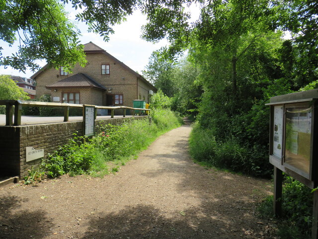
Image: © Malc McDonald Taken: 3 Jun 2022
The Downs Link path follows a dismantled railway line for most of its length. It also forms part of route 223 of the National Cycle Network. Here, the path passes through the site of Rudgwick railway station. More information about Rudgwick station can be found on the Disused Stations website: http://www.disused-stations.org.uk/r/rudgwick/
Images are licensed for reuse under creativecommons.org/licenses/by-sa/2.0
Image Location
Latitude
51.089739
Longitude
-0.451282