Recreation Ground
Introduction
The photograph on this page of Recreation Ground by John Baker as part of the Geograph project.
The Geograph project started in 2005 with the aim of publishing, organising and preserving representative images for every square kilometre of Great Britain, Ireland and the Isle of Man.

There are currently over 7.5m images from over 14,400 individuals and you can help contribute to the project by visiting https://www.geograph.org.uk
Recreation Ground
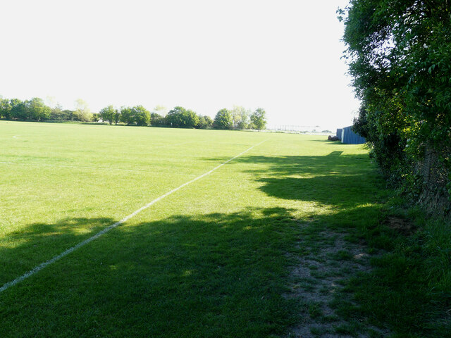
Image: © John Baker Taken: 8 May 2022
Planning permission has been approved, with conditions, by Folkestone and Hythe District Council under application number Y19/0553/FH for the “erection of a two storey community hall and sports pavilion following the demolition of the Maude Pavilion. Refurbishment of the existing nursery building including a new recreational play area and the erection of 34 dwellings with associated landscaping, parking and access in the south west of the recreation ground”. This view is of the eastern side of the Image
Images are licensed for reuse under creativecommons.org/licenses/by-sa/2.0
Image Location
Latitude
50.985537
Longitude
0.9486