Courtlands Road
Introduction
The photograph on this page of Courtlands Road by Simon Carey as part of the Geograph project.
The Geograph project started in 2005 with the aim of publishing, organising and preserving representative images for every square kilometre of Great Britain, Ireland and the Isle of Man.

There are currently over 7.5m images from over 14,400 individuals and you can help contribute to the project by visiting https://www.geograph.org.uk
Courtlands Road
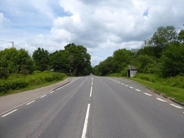
Image: © Simon Carey Taken: 2 Jun 2022
The name of the A22 between the junction with Huggetts Lane and Dodds Hill. The medieval pale of Ashdown Forest follows the western side of the modern road from Horney Common to Fords Green.
Images are licensed for reuse under creativecommons.org/licenses/by-sa/2.0
Image Location


Leaflet Map data © OpenStreetMap
Latitude
51.022237
Longitude
0.064214