Track climbing Mynydd Garn-wen
Introduction
The photograph on this page of Track climbing Mynydd Garn-wen by Alan Bowring as part of the Geograph project.
The Geograph project started in 2005 with the aim of publishing, organising and preserving representative images for every square kilometre of Great Britain, Ireland and the Isle of Man.

There are currently over 7.5m images from over 14,400 individuals and you can help contribute to the project by visiting https://www.geograph.org.uk
Track climbing Mynydd Garn-wen
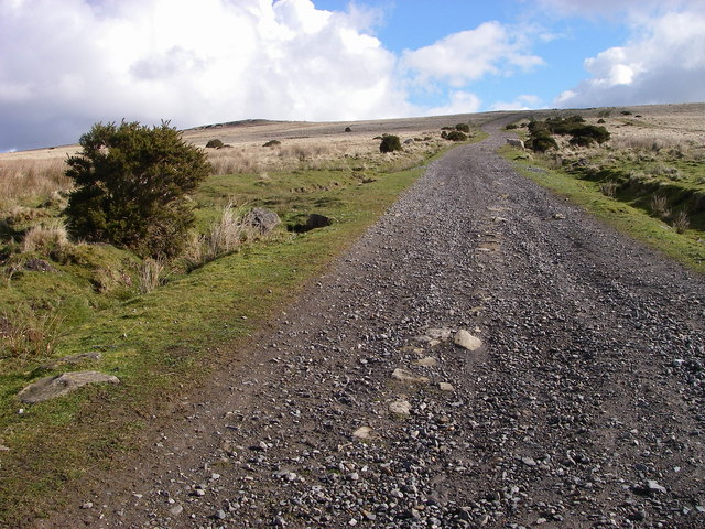
Image: © Alan Bowring Taken: 9 Mar 2008
From the end of the public road a rough track climbs to the broad north-south ridge which defines the eastern edge of the South Wales Valleys. It is frequented by sheep, walkers and (more jarringly by) scrambling bikes.
Images are licensed for reuse under creativecommons.org/licenses/by-sa/2.0
Image Location
Latitude
51.730966
Longitude
-3.034233