Site of Prickett's Hatch
Introduction
The photograph on this page of Site of Prickett's Hatch by Simon Carey as part of the Geograph project.
The Geograph project started in 2005 with the aim of publishing, organising and preserving representative images for every square kilometre of Great Britain, Ireland and the Isle of Man.

There are currently over 7.5m images from over 14,400 individuals and you can help contribute to the project by visiting https://www.geograph.org.uk
Site of Prickett's Hatch
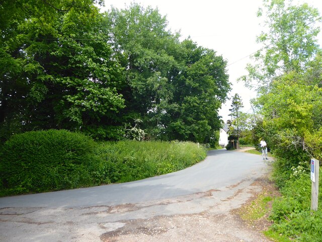
Image: © Simon Carey Taken: 2 Jun 2022
One of the former medieval entrances to the medieval deer park of Ashdown Forest. Located at the point where Nether Lane becomes Down Street, the latter a very ancient droving route predating the creation of the park and for many centuries the main route from East Grinstead to Lewes. The entrance stretched from the eastern side of the lane into the waste on the opposite side of the road and included the entrance to the property known as Prickett's Hatch which itself is next to an old track that headed west to Danehill and Horsted Keynes. The pale runs to the immediate west of the village of Nutley until this point whereupon it turns east heading towards the A22 south of Ford's Green.
Images are licensed for reuse under creativecommons.org/licenses/by-sa/2.0
Image Location


Leaflet Map data © OpenStreetMap
Latitude
51.024597
Longitude
0.057902