The Oast House, Prickett's Hatch, Nutley
Introduction
The photograph on this page of The Oast House, Prickett's Hatch, Nutley by Simon Carey as part of the Geograph project.
The Geograph project started in 2005 with the aim of publishing, organising and preserving representative images for every square kilometre of Great Britain, Ireland and the Isle of Man.

There are currently over 7.5m images from over 14,400 individuals and you can help contribute to the project by visiting https://www.geograph.org.uk
The Oast House, Prickett's Hatch, Nutley
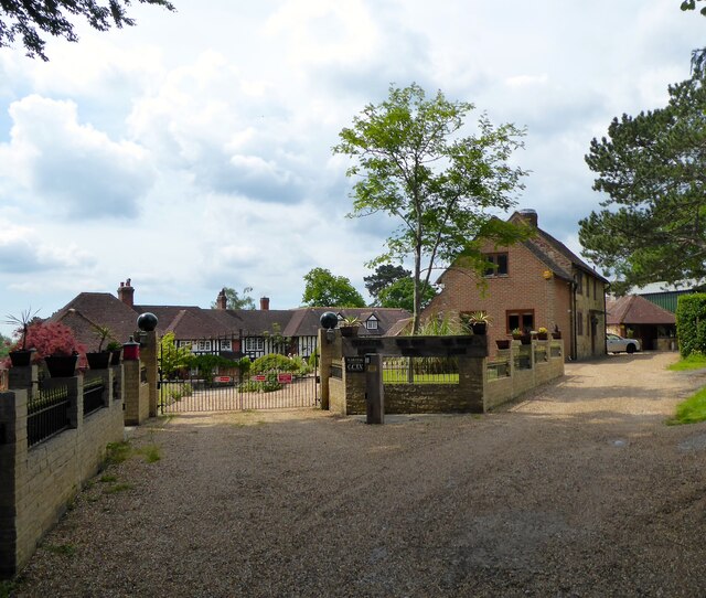
Image: © Simon Carey Taken: 2 Jun 2022
The building on the right was once a stable and is part of the Prickett's Hatch estate. The main building has some parts dating back to the 14th century and is located next to and named after a former entrance to the medieval deer park of Ashdown Forest.
Images are licensed for reuse under creativecommons.org/licenses/by-sa/2.0
Image Location


Leaflet Map data © OpenStreetMap
Latitude
51.02425
Longitude
0.057173