Barley and overhead powerlines
Introduction
The photograph on this page of Barley and overhead powerlines by DS Pugh as part of the Geograph project.
The Geograph project started in 2005 with the aim of publishing, organising and preserving representative images for every square kilometre of Great Britain, Ireland and the Isle of Man.

There are currently over 7.5m images from over 14,400 individuals and you can help contribute to the project by visiting https://www.geograph.org.uk
Barley and overhead powerlines
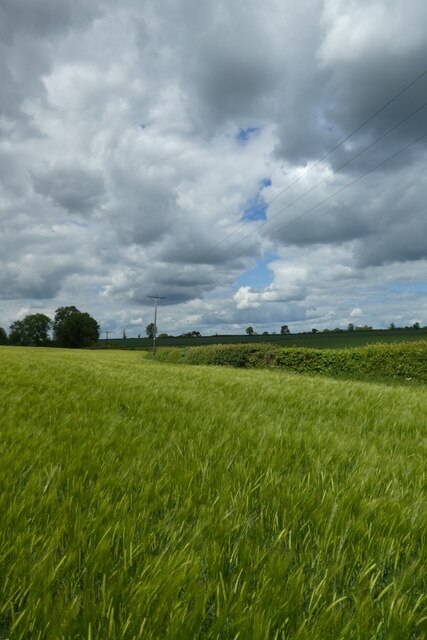
Image: © DS Pugh Taken: 28 May 2022
Looking along the edge of a field of barley along which there is a small stream.
Images are licensed for reuse under creativecommons.org/licenses/by-sa/2.0
Image Location
Latitude
52.089858
Longitude
-1.002788