Moorcroft Farm
Introduction
The photograph on this page of Moorcroft Farm by Ray Stanton as part of the Geograph project.
The Geograph project started in 2005 with the aim of publishing, organising and preserving representative images for every square kilometre of Great Britain, Ireland and the Isle of Man.

There are currently over 7.5m images from over 14,400 individuals and you can help contribute to the project by visiting https://www.geograph.org.uk
Moorcroft Farm
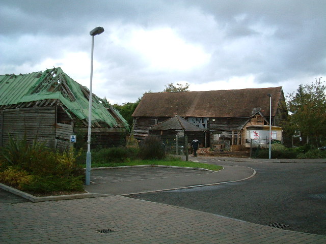
Image: © Ray Stanton Taken: 28 Oct 2005
These two buildings with preservation orders on are now surrounded by new houses. See second picture for this grid reference.
Images are licensed for reuse under creativecommons.org/licenses/by-sa/2.0
Image Location
Latitude
51.52038
Longitude
-0.450556