A Platinum Jubilee street view of Leominster
Introduction
The photograph on this page of A Platinum Jubilee street view of Leominster by DylanMusto14 as part of the Geograph project.
The Geograph project started in 2005 with the aim of publishing, organising and preserving representative images for every square kilometre of Great Britain, Ireland and the Isle of Man.

There are currently over 7.5m images from over 14,400 individuals and you can help contribute to the project by visiting https://www.geograph.org.uk
A Platinum Jubilee street view of Leominster
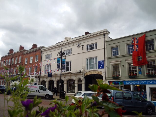
Image: © DylanMusto14 Taken: 1 Jun 2022
Here's a street view of Leominster that I have taken yesterday, and as you can see, there's some nice decorations from it, as it's going to be used for the glorious Platinum Jubilee celebrations (and you could also see the old Canadian flag at the Roundabout Stationery too. Quite rare isn't it?) :)
Images are licensed for reuse under creativecommons.org/licenses/by-sa/2.0
Image Location
Latitude
52.228501
Longitude
-2.739318