Weir on the Allan Water
Introduction
The photograph on this page of Weir on the Allan Water by Richard Sutcliffe as part of the Geograph project.
The Geograph project started in 2005 with the aim of publishing, organising and preserving representative images for every square kilometre of Great Britain, Ireland and the Isle of Man.

There are currently over 7.5m images from over 14,400 individuals and you can help contribute to the project by visiting https://www.geograph.org.uk
Weir on the Allan Water
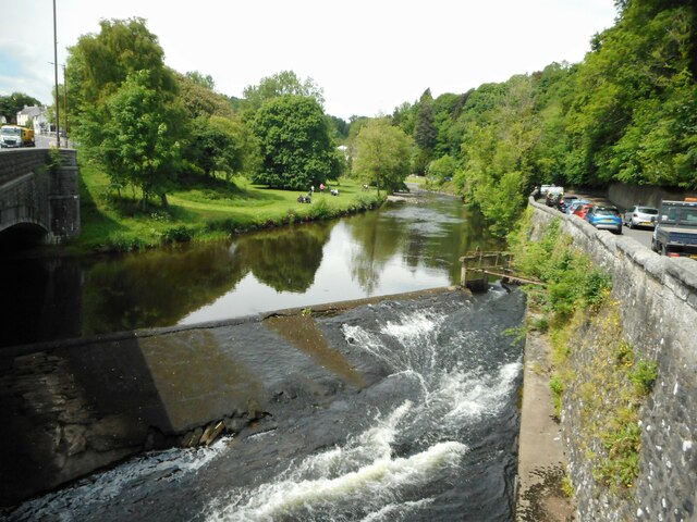
Image: © Richard Sutcliffe Taken: 2 Jun 2022
The weir goes right under the road bridge on the left, which carries the A9, Henderson Street over the river. The weir originally held back water to feed a lade taking water to Keirfield, a bleaching and dyeing mill just to the south. The sluice on the right is in poor condition.
Images are licensed for reuse under creativecommons.org/licenses/by-sa/2.0
Image Location
Latitude
56.156187
Longitude
-3.951409