Bridge of Allan Parish Church
Introduction
The photograph on this page of Bridge of Allan Parish Church by Richard Sutcliffe as part of the Geograph project.
The Geograph project started in 2005 with the aim of publishing, organising and preserving representative images for every square kilometre of Great Britain, Ireland and the Isle of Man.

There are currently over 7.5m images from over 14,400 individuals and you can help contribute to the project by visiting https://www.geograph.org.uk
Bridge of Allan Parish Church
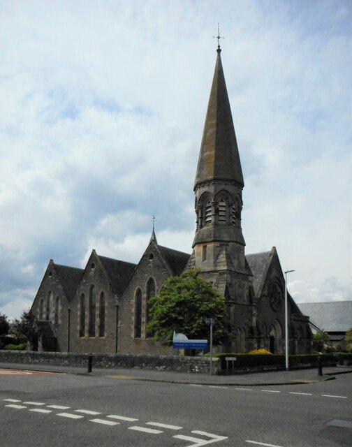
Image: © Richard Sutcliffe Taken: 2 Jun 2022
At the corner of Fountain Road and Keir Street. Dating from 1860, it was formerly Holy Trinity Parish Church. It is Category B listed http://portal.historicenvironment.scot/designation/LB22656.
Images are licensed for reuse under creativecommons.org/licenses/by-sa/2.0
Image Location
Latitude
56.153379
Longitude
-3.94708