Macmillan Way in Trudoxhill
Introduction
The photograph on this page of Macmillan Way in Trudoxhill by Derek Harper as part of the Geograph project.
The Geograph project started in 2005 with the aim of publishing, organising and preserving representative images for every square kilometre of Great Britain, Ireland and the Isle of Man.

There are currently over 7.5m images from over 14,400 individuals and you can help contribute to the project by visiting https://www.geograph.org.uk
Macmillan Way in Trudoxhill
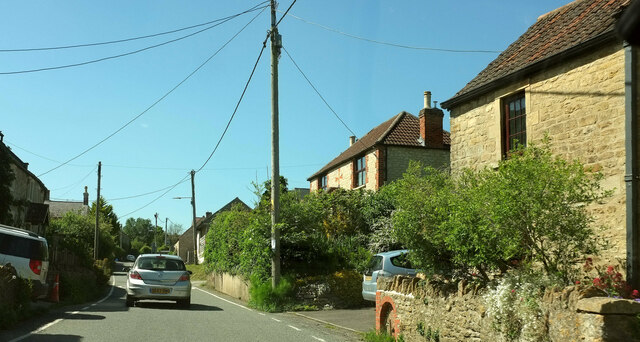
Image: © Derek Harper Taken: 27 May 2022
The LDP follows the main village street north-westwards. This was taken a little further up the road from Image
Images are licensed for reuse under creativecommons.org/licenses/by-sa/2.0
Image Location
Latitude
51.193127
Longitude
-2.363002