Bassett Close
Introduction
The photograph on this page of Bassett Close by Mr Ignavy as part of the Geograph project.
The Geograph project started in 2005 with the aim of publishing, organising and preserving representative images for every square kilometre of Great Britain, Ireland and the Isle of Man.

There are currently over 7.5m images from over 14,400 individuals and you can help contribute to the project by visiting https://www.geograph.org.uk
Bassett Close
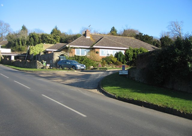
Image: © Mr Ignavy Taken: 17 Feb 2008
This was the first house to be built in the close. A former factory site which burnt down. There was not enough pressure in the pipes to reach this far up the hill. This house was built by the first owner - a local builder!
Images are licensed for reuse under creativecommons.org/licenses/by-sa/2.0
Image Location
Latitude
51.079303
Longitude
1.096497