Houses in Lydd as seen from the tower of All Saint's' Church, Kent
Introduction
The photograph on this page of Houses in Lydd as seen from the tower of All Saint's' Church, Kent by Andrew Diack as part of the Geograph project.
The Geograph project started in 2005 with the aim of publishing, organising and preserving representative images for every square kilometre of Great Britain, Ireland and the Isle of Man.

There are currently over 7.5m images from over 14,400 individuals and you can help contribute to the project by visiting https://www.geograph.org.uk
Houses in Lydd as seen from the tower of All Saint's' Church, Kent
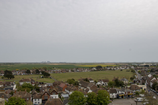
Image: © Andrew Diack Taken: 2 May 2022
This photo shows houses in Lydd, as seen from the top of the tower at All Saints' Church, Lydd. The southeast direction of the photo shows the non-operational A and B nuclear power stations in the distance at Dungeness.
Images are licensed for reuse under creativecommons.org/licenses/by-sa/2.0
Image Location


Leaflet Map data © OpenStreetMap
Latitude
50.951128
Longitude
0.907546