Benchmark on a wall on Petherton Road
Introduction
The photograph on this page of Benchmark on a wall on Petherton Road by Neil Owen as part of the Geograph project.
The Geograph project started in 2005 with the aim of publishing, organising and preserving representative images for every square kilometre of Great Britain, Ireland and the Isle of Man.

There are currently over 7.5m images from over 14,400 individuals and you can help contribute to the project by visiting https://www.geograph.org.uk
Benchmark on a wall on Petherton Road
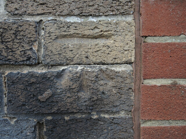
Image: © Neil Owen Taken: 19 May 2022
The wall is from around the Second World War period and this benchmark was on a school premises originally. See https://www.bench-marks.org.uk/bm102030 for the entry in the Benchmark Database and Image] for a wider view.
Images are licensed for reuse under creativecommons.org/licenses/by-sa/2.0
Image Location
Latitude
51.422781
Longitude
-2.566167