John Hall Close
Introduction
The photograph on this page of John Hall Close by Neil Owen as part of the Geograph project.
The Geograph project started in 2005 with the aim of publishing, organising and preserving representative images for every square kilometre of Great Britain, Ireland and the Isle of Man.

There are currently over 7.5m images from over 14,400 individuals and you can help contribute to the project by visiting https://www.geograph.org.uk
John Hall Close
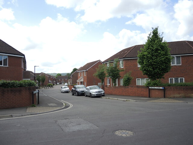
Image: © Neil Owen Taken: 19 May 2022
A modern housing development that stands on the site of the former Petherton Road School. It split into juniors and infants schools in 1949, but finally closed in the 1980s. As an aside, Petherton Road was originally known as Back Lane before the houses were built.
Images are licensed for reuse under creativecommons.org/licenses/by-sa/2.0
Image Location
Latitude
51.422779
Longitude
-2.566599