Castercliff Camp Hillfort
Introduction
The photograph on this page of Castercliff Camp Hillfort by Kevin Rushton as part of the Geograph project.
The Geograph project started in 2005 with the aim of publishing, organising and preserving representative images for every square kilometre of Great Britain, Ireland and the Isle of Man.

There are currently over 7.5m images from over 14,400 individuals and you can help contribute to the project by visiting https://www.geograph.org.uk
Castercliff Camp Hillfort
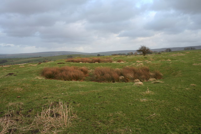
Image: © Kevin Rushton Taken: 2 Mar 2008
Castercliff is the county's best example of an Iron age hill fort it has hut circles and scars of bell pits on top, it has been dated back to the 6th century BC
Images are licensed for reuse under creativecommons.org/licenses/by-sa/2.0
Image Location
Latitude
53.841716
Longitude
-2.176711