The Drive, near Chancellor's School
Introduction
The photograph on this page of The Drive, near Chancellor's School by Christine Johnstone as part of the Geograph project.
The Geograph project started in 2005 with the aim of publishing, organising and preserving representative images for every square kilometre of Great Britain, Ireland and the Isle of Man.

There are currently over 7.5m images from over 14,400 individuals and you can help contribute to the project by visiting https://www.geograph.org.uk
The Drive, near Chancellor's School
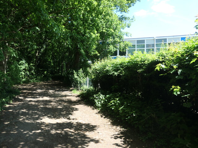
Image: © Christine Johnstone Taken: 22 May 2022
Once the drive to a large house called Brookman's Park. Now a public footpath between the commuter villages of Brookmans Park and Bell Bar.
Images are licensed for reuse under creativecommons.org/licenses/by-sa/2.0
Image Location
Latitude
51.727801
Longitude
-0.185009