Open space off Mowbray Road
Introduction
The photograph on this page of Open space off Mowbray Road by Neil Owen as part of the Geograph project.
The Geograph project started in 2005 with the aim of publishing, organising and preserving representative images for every square kilometre of Great Britain, Ireland and the Isle of Man.

There are currently over 7.5m images from over 14,400 individuals and you can help contribute to the project by visiting https://www.geograph.org.uk
Open space off Mowbray Road
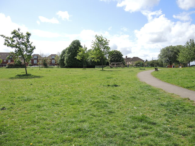
Image: © Neil Owen Taken: 12 May 2022
A public space and play area along Mowbray Road. Interestingly, the road and houses were developed before WWII and the former is based on a public footpath of old. More of a concern is the map describing it as Mowberry Road recreation area.
Images are licensed for reuse under creativecommons.org/licenses/by-sa/2.0
Image Location
Latitude
51.422268
Longitude
-2.560696