Malaig Bheag
Introduction
The photograph on this page of Malaig Bheag by Gordon Hatton as part of the Geograph project.
The Geograph project started in 2005 with the aim of publishing, organising and preserving representative images for every square kilometre of Great Britain, Ireland and the Isle of Man.

There are currently over 7.5m images from over 14,400 individuals and you can help contribute to the project by visiting https://www.geograph.org.uk
Malaig Bheag
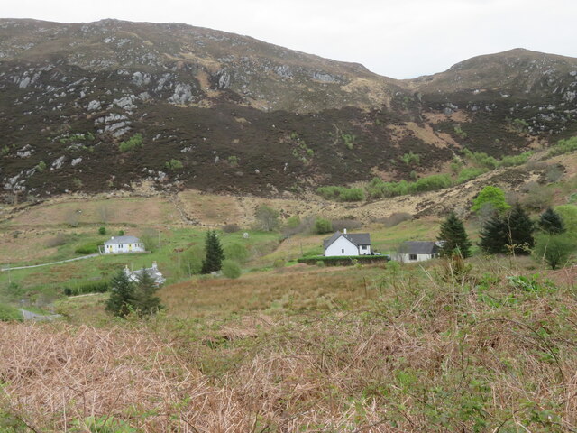
Image: © Gordon Hatton Taken: 1 May 2022
Maps seem to differ here as this can be either 'Malaig' or 'Mallaig'. There's a scattering of houses along the valley, whilst the dyke which defines edge of the improved ground at the base of the rocky hill, also roughly coincides with the eastern edge of the grid square.
Images are licensed for reuse under creativecommons.org/licenses/by-sa/2.0
Image Location
Latitude
57.010414
Longitude
-5.808298