Bolt benchmark on the old Holy Trinity
Introduction
The photograph on this page of Bolt benchmark on the old Holy Trinity by Neil Owen as part of the Geograph project.
The Geograph project started in 2005 with the aim of publishing, organising and preserving representative images for every square kilometre of Great Britain, Ireland and the Isle of Man.

There are currently over 7.5m images from over 14,400 individuals and you can help contribute to the project by visiting https://www.geograph.org.uk
Bolt benchmark on the old Holy Trinity
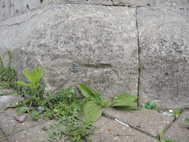
Image: © Neil Owen Taken: 5 May 2022
The church dates from 1832 and the west end has a bolt benchmark that is just about visible today. Not only has the modern ground level risen thanks to the paviers, the stonework is crumbling so badly that the chisel marks are weathered. See https://www.bench-marks.org.uk/bm28912 for the entry in the Benchmark Database and Image] for a wider view.
Images are licensed for reuse under creativecommons.org/licenses/by-sa/2.0
Image Location
Latitude
51.457889
Longitude
-2.576245