Stonebrook, Old Forge Lane, Horney Common
Introduction
The photograph on this page of Stonebrook, Old Forge Lane, Horney Common by Simon Carey as part of the Geograph project.
The Geograph project started in 2005 with the aim of publishing, organising and preserving representative images for every square kilometre of Great Britain, Ireland and the Isle of Man.

There are currently over 7.5m images from over 14,400 individuals and you can help contribute to the project by visiting https://www.geograph.org.uk
Stonebrook, Old Forge Lane, Horney Common
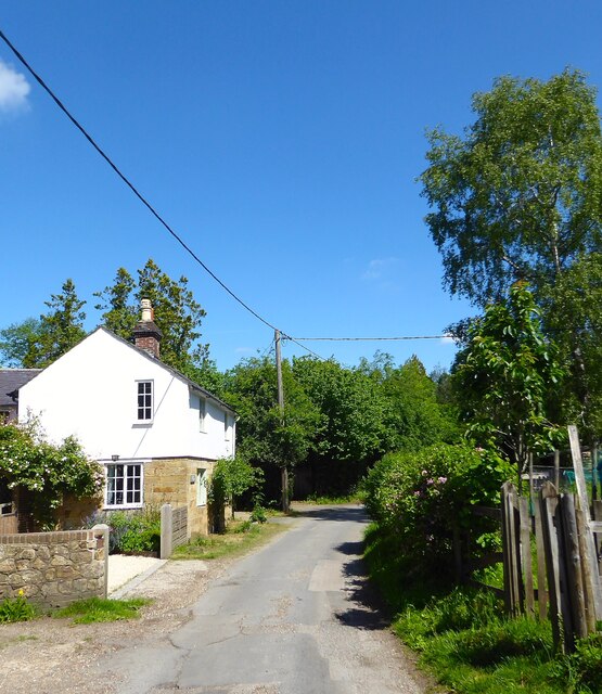
Image: © Simon Carey Taken: 22 May 2022
Built sometime in the 19th century and extended over the years. The lane runs along the former pale of Ashdown Forest.
Images are licensed for reuse under creativecommons.org/licenses/by-sa/2.0
Image Location


Leaflet Map data © OpenStreetMap
Latitude
51.012633
Longitude
0.078329