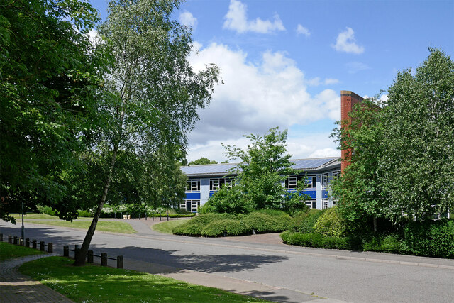
Wolverhampton Science Park - Coxwell Avenue
Introduction
The photograph on this page of Wolverhampton Science Park - Coxwell Avenue by Roger Kidd as part of the Geograph project.
The Geograph project started in 2005 with the aim of publishing, organising and preserving representative images for every square kilometre of Great Britain, Ireland and the Isle of Man.
There are currently over 7.5m images from over 14,400 individuals and you can help contribute to the project by visiting https://www.geograph.org.uk

Image: © Roger Kidd Taken: 28 May 2022
Looking north-west from near the canal. Wolverhampton Science Park Ltd was formed in 1993 as a joint venture between the University of Wolverhampton and Wolverhampton City Council. The company was renamed University of Wolverhampton Science Park Ltd in 2012. Their website says, "Established in October 1995, today the University of Wolverhampton Science Park is home to over 100 businesses working in a broad range of technological and creative disciplines. At our central location in Wolverhampton, we provide office accommodation, workshop and laboratory areas, in which new and established companies can thrive, ensuring a sustainable future for all and maximum positive impact to the local economy." The Park was built on the site of the former Wolverhampton Gas works. It was here that the world altitude record of over six miles was set on 5 September 1862, by James Glaisher and Henry Coxwell in a balloon filled with coal gas. https://www.expressandstar.com/news/nostalgia/2022/02/21/flashback-to-1993---first-step-for-wolverhampton-science-park/ https://en.wikipedia.org/wiki/Henry_Tracey_Coxwell

