Orchard Way, Guiseley
Introduction
The photograph on this page of Orchard Way, Guiseley by Stephen Craven as part of the Geograph project.
The Geograph project started in 2005 with the aim of publishing, organising and preserving representative images for every square kilometre of Great Britain, Ireland and the Isle of Man.

There are currently over 7.5m images from over 14,400 individuals and you can help contribute to the project by visiting https://www.geograph.org.uk
Orchard Way, Guiseley
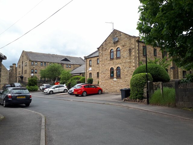
Image: © Stephen Craven Taken: 22 May 2022
This seems to be a (social?) housing development on the site and in the grounds of the former Methodist church; the replacement church Image is on a slightly different footprint.
Images are licensed for reuse under creativecommons.org/licenses/by-sa/2.0
Image Location
Latitude
53.876186
Longitude
-1.708386