Houses at end of The Mardens, Ifield, Crawley
Introduction
The photograph on this page of Houses at end of The Mardens, Ifield, Crawley by Robin Webster as part of the Geograph project.
The Geograph project started in 2005 with the aim of publishing, organising and preserving representative images for every square kilometre of Great Britain, Ireland and the Isle of Man.

There are currently over 7.5m images from over 14,400 individuals and you can help contribute to the project by visiting https://www.geograph.org.uk
Houses at end of The Mardens, Ifield, Crawley
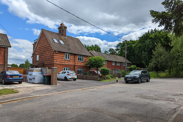
Image: © Robin Webster Taken: 28 May 2022
The tile-hung pair may predate the A23 Crawley bypass (late 1930s), when The Mardens and Ifield Road were part of a continuous direct route from the old Crawley to the old Ifield. Even after the bypass was built, the route was continuous via a roundabout here. This must have been eliminated with the post-war coming of the New Town.
Images are licensed for reuse under creativecommons.org/licenses/by-sa/2.0
Image Location
Latitude
51.120745
Longitude
-0.204615