End of Tower Close, Bidford-on-Avon, Warwicks
Introduction
The photograph on this page of End of Tower Close, Bidford-on-Avon, Warwicks by P L Chadwick as part of the Geograph project.
The Geograph project started in 2005 with the aim of publishing, organising and preserving representative images for every square kilometre of Great Britain, Ireland and the Isle of Man.

There are currently over 7.5m images from over 14,400 individuals and you can help contribute to the project by visiting https://www.geograph.org.uk
End of Tower Close, Bidford-on-Avon, Warwicks
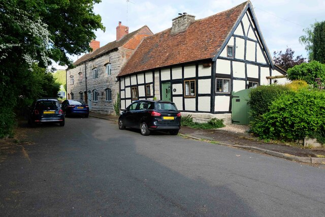
Image: © P L Chadwick Taken: 7 May 2022
The road continues as a public footpath to nearby Tower Hill (part of the B439 road). Image
Images are licensed for reuse under creativecommons.org/licenses/by-sa/2.0
Image Location
Latitude
52.166355
Longitude
-1.851997