Badharlick
Introduction
The photograph on this page of Badharlick by Derek Harper as part of the Geograph project.
The Geograph project started in 2005 with the aim of publishing, organising and preserving representative images for every square kilometre of Great Britain, Ireland and the Isle of Man.

There are currently over 7.5m images from over 14,400 individuals and you can help contribute to the project by visiting https://www.geograph.org.uk
Badharlick
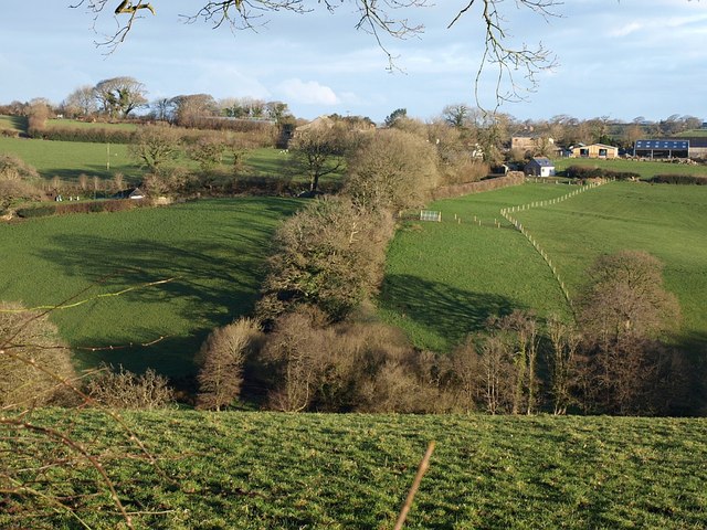
Image: © Derek Harper Taken: 4 Mar 2008
A view of the hamlet across a tributary valley of the Kensey from the footpath along the track shown in Image The band of trees in line with the camera hides a track down to a footbridge across the stream.
Images are licensed for reuse under creativecommons.org/licenses/by-sa/2.0
Image Location
Latitude
50.648563
Longitude
-4.461184