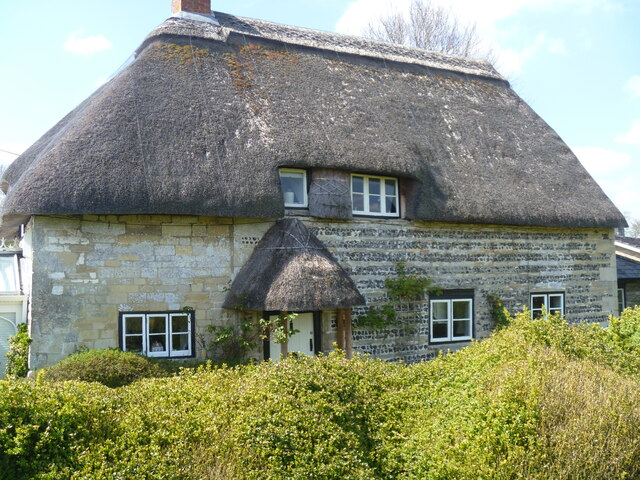
Wylye houses [2]
Introduction
The photograph on this page of Wylye houses [2] by Michael Dibb as part of the Geograph project.
The Geograph project started in 2005 with the aim of publishing, organising and preserving representative images for every square kilometre of Great Britain, Ireland and the Isle of Man.
There are currently over 7.5m images from over 14,400 individuals and you can help contribute to the project by visiting https://www.geograph.org.uk

Image: © Michael Dibb Taken: 20 Apr 2022
Elmbury Cottage, Sheepwash Lane, is an early 17th century detached cottage, extended in the late 17th century. Constructed of banded flint and limestone under a thatch roof. Some original internal features remain. Listed, grade II, with details at: https://historicengland.org.uk/listing/the-list/list-entry/1198026 The village of Wylye is located halfway between Salisbury and Warminster, some 9½ miles (15 kilometres) from both. The village is astride the River Wylye and is just south of the major road intersection with the junction of the A36 and the A303. Within the wider area Bronze Age artefacts have been found, there is an Iron Age hill fort and a Roman Road runs east to west.

