Woburn Road level crossing
Introduction
The photograph on this page of Woburn Road level crossing by Sarah Joy as part of the Geograph project.
The Geograph project started in 2005 with the aim of publishing, organising and preserving representative images for every square kilometre of Great Britain, Ireland and the Isle of Man.

There are currently over 7.5m images from over 14,400 individuals and you can help contribute to the project by visiting https://www.geograph.org.uk
Woburn Road level crossing
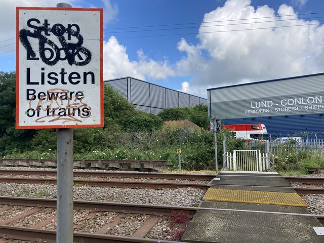
Image: © Sarah Joy Taken: 5 Jul 2021
Woburn Road level crossing on the Marston Vale railway line, just south of Woburn Road industrial estate, Kempston, Bedfordshire.
Images are licensed for reuse under creativecommons.org/licenses/by-sa/2.0
Image Location
Latitude
52.106637
Longitude
-0.491793