Former mill leat, Port Elphinstone
Introduction
The photograph on this page of Former mill leat, Port Elphinstone by Alan Murray-Rust as part of the Geograph project.
The Geograph project started in 2005 with the aim of publishing, organising and preserving representative images for every square kilometre of Great Britain, Ireland and the Isle of Man.

There are currently over 7.5m images from over 14,400 individuals and you can help contribute to the project by visiting https://www.geograph.org.uk
Former mill leat, Port Elphinstone
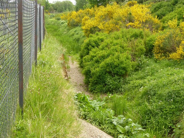
Image: © Alan Murray-Rust Taken: 22 May 2022
Taking water from the River Don just below Inverurie Bridge. Apparently not usually as dry as this.
Images are licensed for reuse under creativecommons.org/licenses/by-sa/2.0
Image Location
Latitude
57.275224
Longitude
-2.371292