Old Ford House, Bideford
Introduction
The photograph on this page of Old Ford House, Bideford by Brian Westlake as part of the Geograph project.
The Geograph project started in 2005 with the aim of publishing, organising and preserving representative images for every square kilometre of Great Britain, Ireland and the Isle of Man.

There are currently over 7.5m images from over 14,400 individuals and you can help contribute to the project by visiting https://www.geograph.org.uk
Old Ford House, Bideford
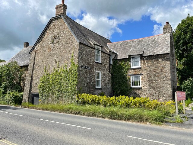
Image: © Brian Westlake Taken: 20 May 2022
Old Ford House is a grade II* listed building alongside the A386 on the south side of Bideford. It carries a flush bracket benchmark on the far angle. See https://www.geograph.org.uk/photo/7183048 for a closer view and https://www.bench-marks.org.uk/bm11680 for details of the mark.
Images are licensed for reuse under creativecommons.org/licenses/by-sa/2.0
Image Location
Latitude
51.011622
Longitude
-4.20649