Building site, The Length
Introduction
The photograph on this page of Building site, The Length by John Baker as part of the Geograph project.
The Geograph project started in 2005 with the aim of publishing, organising and preserving representative images for every square kilometre of Great Britain, Ireland and the Isle of Man.

There are currently over 7.5m images from over 14,400 individuals and you can help contribute to the project by visiting https://www.geograph.org.uk
Building site, The Length
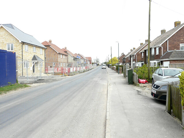
Image: © John Baker Taken: 2 May 2022
Planning permission has been granted by Thanet District Council under application number F/TH/19/1231 for the “erection of 34 dwellings, together with associated landscaping, parking and access”. The development has been named The Stables.
Images are licensed for reuse under creativecommons.org/licenses/by-sa/2.0
Image Location
Latitude
51.352259
Longitude
1.2568