Caernarfon's new by-pass
Introduction
The photograph on this page of Caernarfon's new by-pass by Eirian Evans as part of the Geograph project.
The Geograph project started in 2005 with the aim of publishing, organising and preserving representative images for every square kilometre of Great Britain, Ireland and the Isle of Man.

There are currently over 7.5m images from over 14,400 individuals and you can help contribute to the project by visiting https://www.geograph.org.uk
Caernarfon's new by-pass
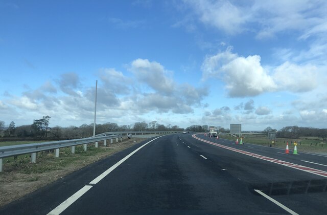
Image: © Eirian Evans Taken: 24 Feb 2022
Five days after it was opened. It was one of the largest recent infrastructure projects in North Wales, the 9.7km bypass running from the Goat Roundabout on the A499/A487 to the Plas Menai roundabout.
Images are licensed for reuse under creativecommons.org/licenses/by-sa/2.0
Image Location
Latitude
53.096014
Longitude
-4.283166