Trerulefoot, A374
Introduction
The photograph on this page of Trerulefoot, A374 by David Dixon as part of the Geograph project.
The Geograph project started in 2005 with the aim of publishing, organising and preserving representative images for every square kilometre of Great Britain, Ireland and the Isle of Man.

There are currently over 7.5m images from over 14,400 individuals and you can help contribute to the project by visiting https://www.geograph.org.uk
Trerulefoot, A374
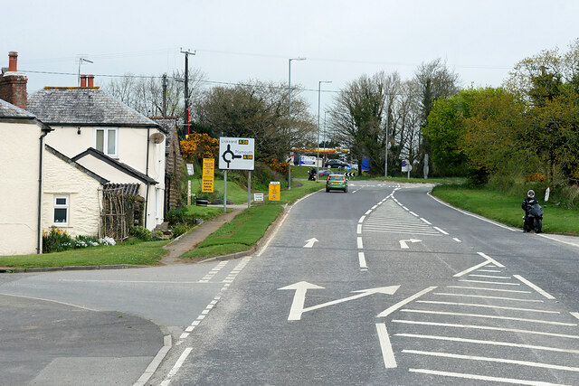
Image: © David Dixon Taken: 15 Apr 2022
Trerulefoot is a village in southeast Cornwall, located approximately halfway between the towns of Saltash and Liskeard. The village has a farm shop, two cafés and a petrol filling station.
Images are licensed for reuse under creativecommons.org/licenses/by-sa/2.0
Image Location
Latitude
50.40612
Longitude
-4.350076